Van Buren County MI - Map and Data Portal | Van Buren County MI

Van Buren County MI - Map and Data Portal

Menu
  • About Us
    Put information about your organization or project here.
title

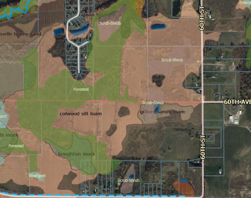
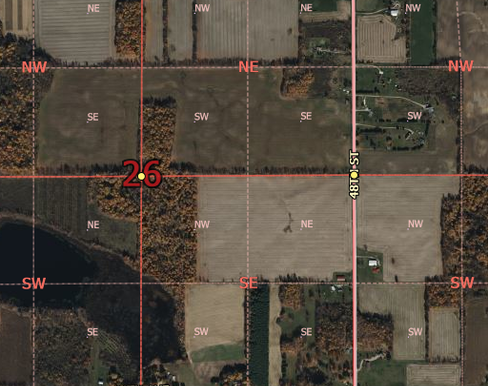
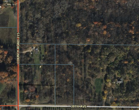
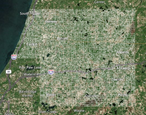
Free Interactive Maps!

The Van Buren County Digital Information Department's goal is to get county data into the hands of the people who can use it most…..YOU! The maps on this page are free for public use. Each map is focused on a different need or topic, so feel free to explore. New Interactive maps are in the works, so check back here often.

Maps
Data
Hydric-Areas-Viewer

Hydric Areas Viewer

Flood Zones, Hydric Soils, Watersheds, Wetlands, and more...
Original-Land-Patents-Public-Land-Survey-System-Viewer-beta-

Original Land Patents & Public Land Survey System Viewer (beta)

Van Buren County, MI
Parcel-History-Viewer

Parcel History Viewer

Van Buren County, MI
Parcel-Viewer

Parcel Viewer

Van Buren County, MI
Remonumentation-Program-Status-Viewer

Remonumentation Program Status Viewer

Van Buren County, MI
Hydric-Areas-Viewer

Hydric Areas Viewer

Hydric Areas Viewer

Flood Zones, Hydric Soils, Watersheds, Wetlands, and more...

Original-Land-Patents-Public-Land-Survey-System-Viewer-beta-

Original Land Patents & Public Land Survey System Viewer (beta)

Original Land Patents & Public Land Survey System Viewer (beta)

Van Buren County, MI

Parcel-History-Viewer

Parcel History Viewer

Parcel History Viewer

Van Buren County, MI

Parcel-Viewer

Parcel Viewer

Parcel Viewer

Van Buren County, MI

Remonumentation-Program-Status-Viewer

Remonumentation Program Status Viewer

Remonumentation Program Status Viewer

Van Buren County, MI